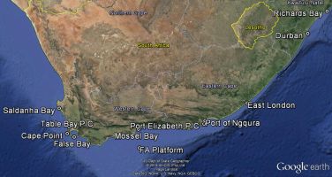
Richards Bay
About
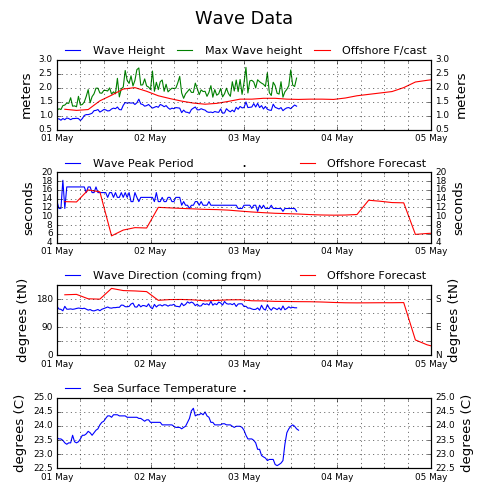
Ocean waves are monitored continuously off Richards Bay in South Africa. Detailed information is directly available in real-time, for operational purposes, to NPA (Richards Bay).
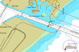
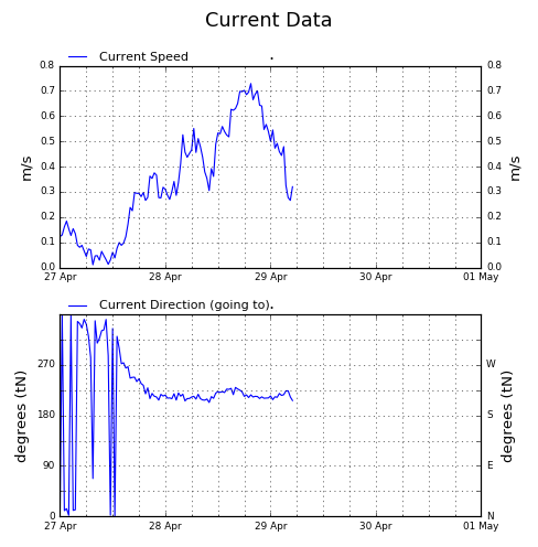
At present, the data is gathered with a Directional Datawell Waverider Mk 4 buoy, situated at 28°49'35.40"S, 32° 6'14.40"E in 22 m water, about 1.4 km off the point of the Southern Breakwater. Currents are measured at a depth of 1 m below the surface. Measurements are processed on board, and transmitted to a shore station every half hour. The analysed data is then downloaded in near real-time to the Stellenbosch office of the CSIR, where it is stored in a database.
Wave Data
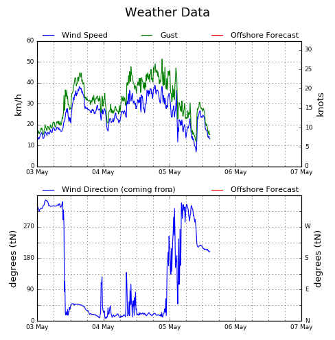
Weather Data (Port Control)
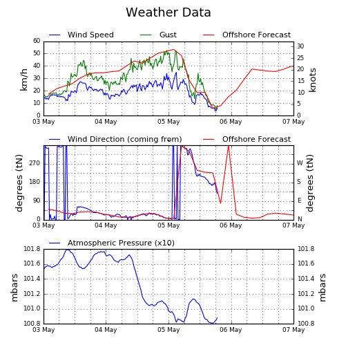
Weather Data (South Breakwater)
Current Data
Contact: Sarel Haasbroek, Telephone: +27 21 888 2440
Page maintained by Ursula von St Ange
Copyright@CSIR
2015. All right Reserved | Feedback:
WebDeveloper
Disclaimer: These are only estimated figures and should explicitly be
used for display purposes only. No assumption and/or conclusion should
be made.
Richards Bay